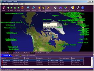
 The United States Geological Survey (USGS) Earth Explorer v4.5, is providing a tremendous amount of details with the stated 1m/pixel in the United States (but only 20m/pixel outside of the US).
Since the Earth surface is about 510,065,600,000,000 square meters (according to Wikipedia), this leads to a total of around 1,188 giga-pixel world image (plus some more details in the US which is 400 times more precise).
There is a race with competing Google Earth and others to get the most details, and this will ead to ever increasing sizes.
Leave a Reply